Relief maps for guidebooks and trail maps
Tarn turns a height model into a labelled relief map and exports it at print resolution. The map here is generated terrain; try it.
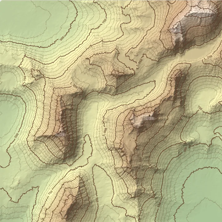
What each layer shows
Drawn from the map above, including your changes.
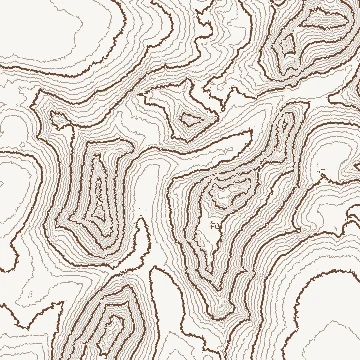
Contours
Lines of equal height. Every fifth is an index contour, heavier and labelled, as on USGS topographic maps.3 Close lines mean steep ground; ticks inside a closed loop mark a hollow with no outlet.
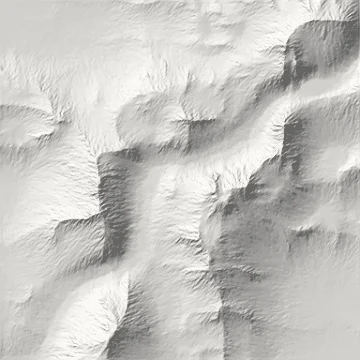
Hillshade
Shading from one distant light, so it depends on slope, the direction each slope faces and where the light is. It shows form, not height.
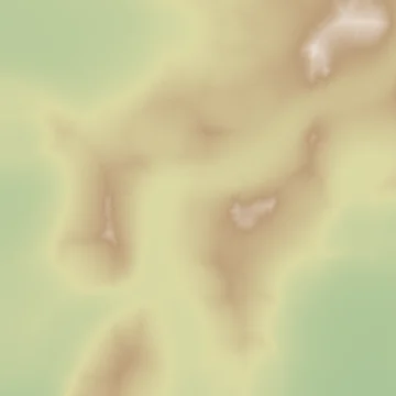
Elevation tint
Colour by height, read against the key beside the map.
Light from the top of the map
Readers tend to assume light comes from above. Light a shaded relief map from the bottom and valleys can read as ridges, an effect called relief inversion. Esri’s ArcGIS, for example, sets its traditional hillshade to light from 315°, the north-west, at 45° above the horizon.2
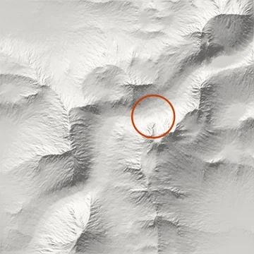
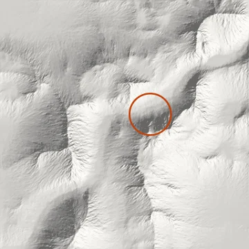
Biland and Çöltekin showed readers eight terrains lit from 16 directions. Landforms were identified most accurately with light from 337.5°, north-north-west, rather than the customary 315°.1 Below, the same circled valley under light from 337.5° and from 135°.
About this page
Tarn is fictional; the renderer on this page is real.