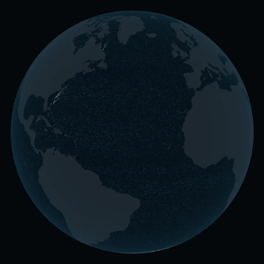
Why do the fast currents run on the west side of every ocean?
The Gulf Stream hugs the American coast. The Kuroshio does the same off Japan, and the Agulhas off South Africa: each runs along the western edge of its ocean, while the eastern sides drift slowly. The wind sets each ocean turning; the spinning Earth decides which side runs fast.
North Atlantic · west side
Gulf Stream
Through the Florida Straits at 27° N it carries about 30 sverdrups (Sv): 30 million cubic metres of water crossing the strait every second.1 All the world's rivers, Antarctica aside, discharge about 1.2 Sv.2
It follows the coast to Cape Hatteras, then leaves it for open water. Measured across the stream near 55° W, and counting the slowly circulating water drawn in on either side, its transport is about 150 Sv.3
The reason
Why the west
Over the subtropical North Atlantic the trade winds blow toward the west and the westerlies toward the east. Between them the wind twists the sea surface clockwise. Across most of the basin that twist is balanced by water creeping slowly toward the equator, where the Coriolis effect, the deflection that comes from the Earth's spin, is weaker.
That water has to return toward the pole somewhere. Henry Stommel showed in 1948 that because the Coriolis effect grows toward the poles, friction can only balance the returning flow against the western shore.4 With a Coriolis effect the same at every latitude, his model ocean turned symmetrically. The return is squeezed into a narrow strip, so the water that drifted south across thousands of kilometres has to run north fast.
The globe does not compute this. Its currents are a prescribed pattern shaped like Stommel's solution, with the western edge of each gyre fitted to the coast by hand.
North Pacific · west side
Kuroshio
The name means "black tide". It carries tropical water north past Taiwan and along the south coast of Japan, then turns east into the Pacific.
Its path off Japan switches between two states. From August 2017 to April 2025 it took a long southward detour, the large meander, for about seven years and nine months: the longest the Japan Meteorological Agency has recorded.5 The drawn line shows that path; the model's streaks do not follow it.
Indian Ocean · west side
Agulhas Current
It runs south along the coast of South Africa. Moored current meters south-east of Durban, recording for 267 days in 1995–96, measured a mean of about 70 Sv through that section, counted from the surface to 2,400 m.6
Past the tip of the continent most of it turns sharply back into the Indian Ocean, the retroflection drawn on the globe. Some water escapes into the Atlantic through eddies, filaments and rings of warm, salty water a few hundred kilometres across.
The model's streaks cannot make that turn. It comes from the current's own momentum, which the schematic leaves out.
Southern Ocean · the exception
Antarctic Circumpolar Current
Here there is no western edge, because there is no continent to stop it. The current runs eastward all the way around Antarctica, joining the Atlantic, Pacific and Indian oceans. Through Drake Passage, between Cape Horn and the Antarctic Peninsula, its full-depth transport averaged 173 Sv over 2007–2011.7
Try it
Release dye
Click the ocean to release a patch of dye, or pick a place below. It follows the model's surface currents and stops where the model's water meets land. Drag with a mouse, or use the turn buttons, to rotate the globe.
Nothing released yet.